Getting Around Toronto's Waterfront
By Transit
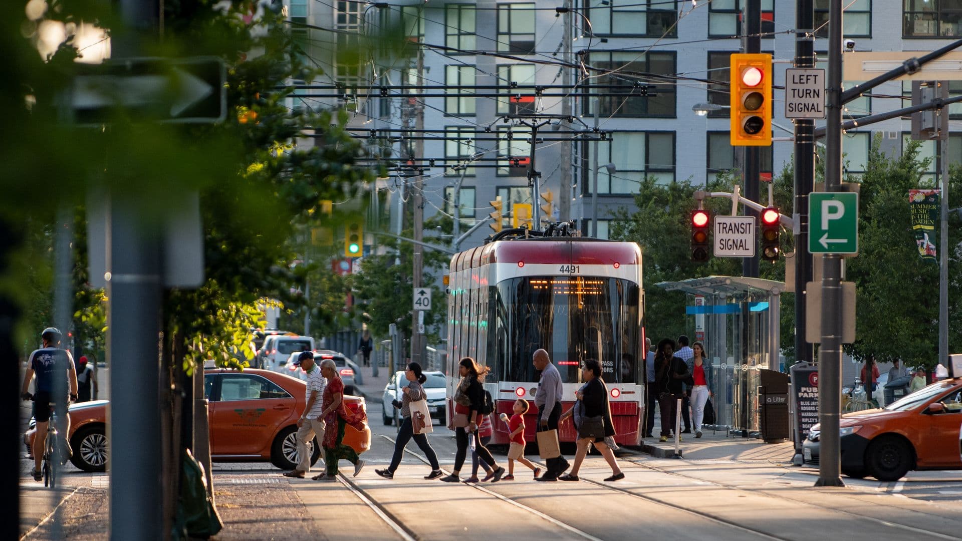
Get around the waterfront by taking a bus or streetcar
Get details
By Car
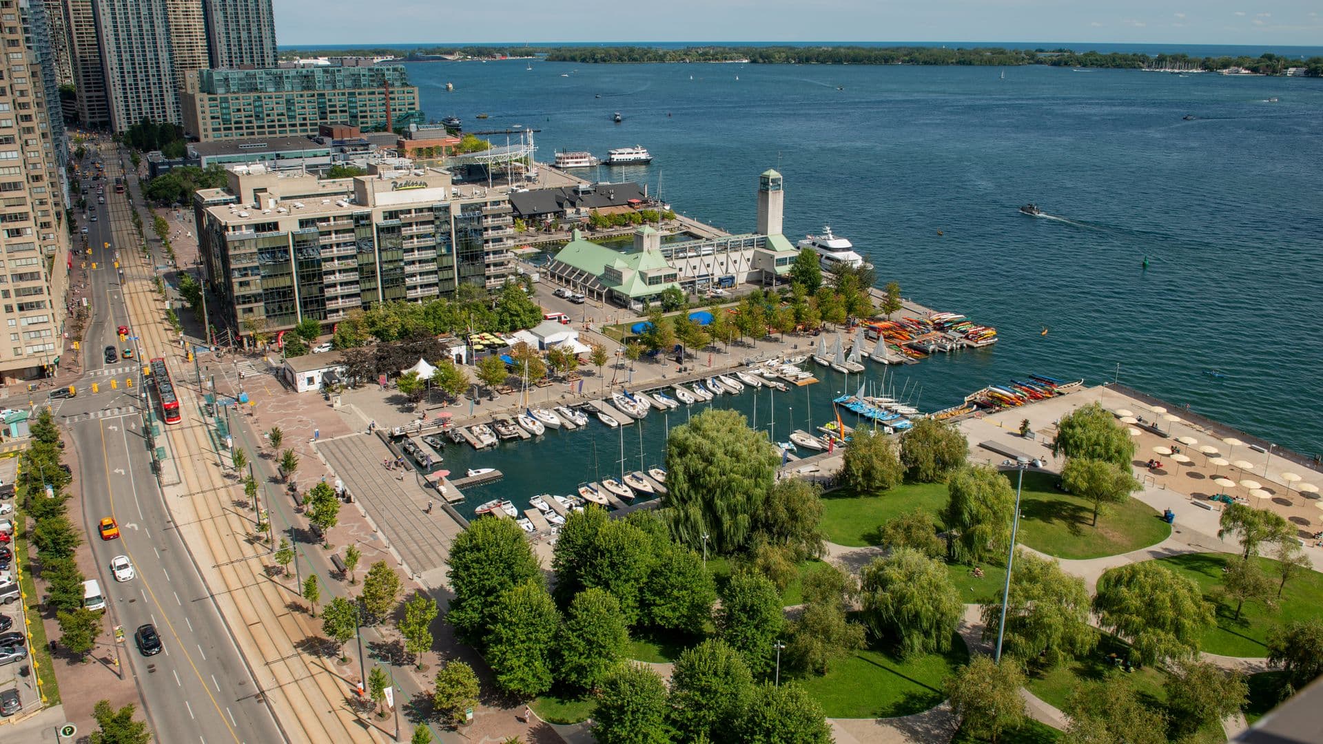
Drive to the waterfront, there's plenty of parking and easy access.
Get details
By Bike
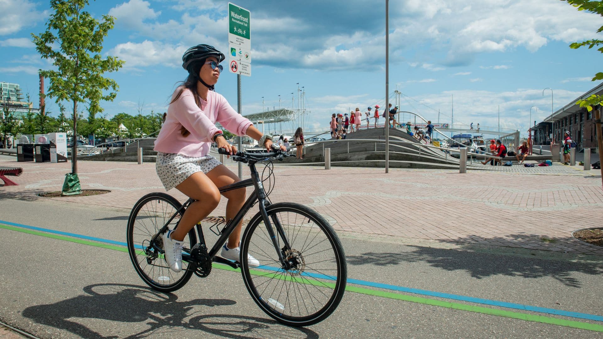
Access by bike, including via the Waterfront Trail along the water's edge.
Get details
By Foot
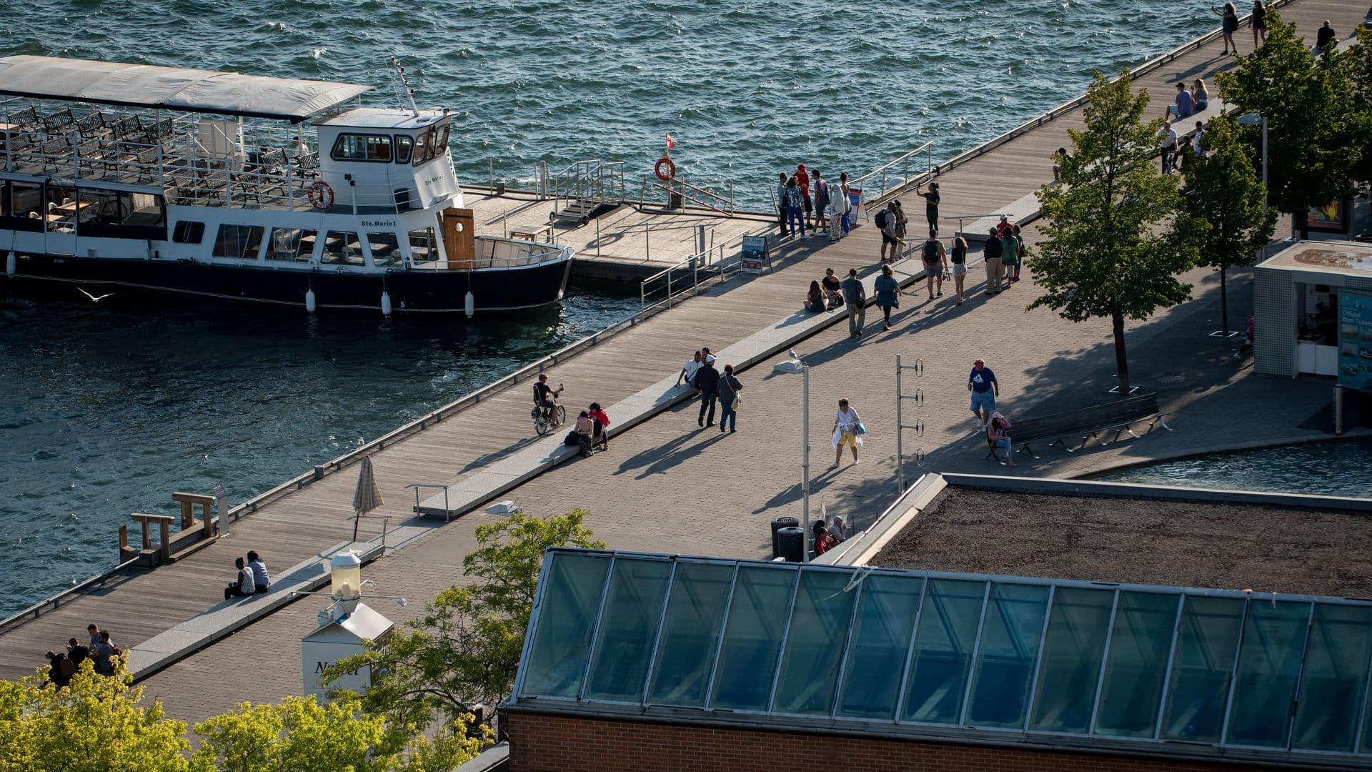
Just a short walk from Toronto's downtown core. Walk on over.
Get details
By Transit
Transit
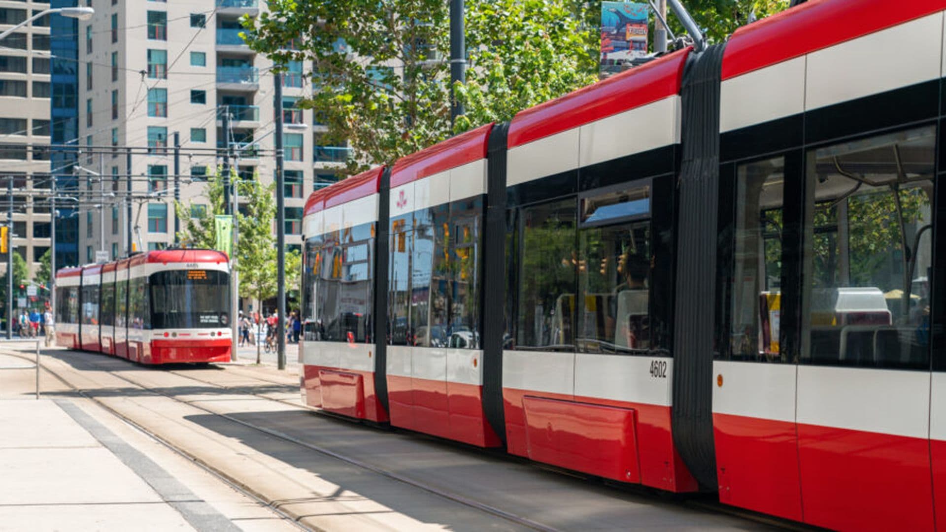
The Waterfront is only a five-minute walk from Union Subway Station which makes it very accessible from public transit. Visit TTC Trip Planner to find the fastest transit route east and west along Queens Quay.
By Bike
Biking
Ride the Martin Goodman Waterfront Trail along the waters edge from east to west to access and explore the neighbourhood.
By Foot
Walking
The waterfront is accessible by foot along all the north-south streets that pass under the Gardiner expressway: Bathurst St, Lower Spadina Ave, Simcoe St., York St., Bay St., Yonge St., Lower Jarvis St., Lower Sherbourne St., and Parliament St. Walking is also accessible via Cherry St. and Strachan Ave along the Martin Goodman Trail.
